 REVERSE ENGINEERING
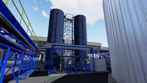
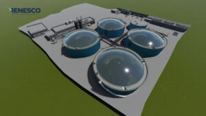
When you need realism you need world class reality capture. STANDIS is internationally recognized as leaders in the field of geospatial technologies such as 3D laser scanning, pointcloud registration, data processing, and photogrammetry. We can help you recreate real-world locations, facilities, and objects with exceptional accuracy. Take advantage of our advanced data collection and processing workflows, and expert technical teams for the development of your next video game, film, virtual reality experience, metaverse creation, or any other form of digital media that demands precision recreation of the real world.
Services
- 3D Laser Scanning
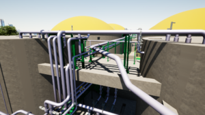
- Digital Twin
- Aerial Mapping
- 5D BIM Simulation
- Geomatics
- Design & Drafting
- Engineering
- Fabrication
- Construction
- Maintenance Crews
- Turnarounds
- Shutdowns
- Advanced Work Packages
Project Types
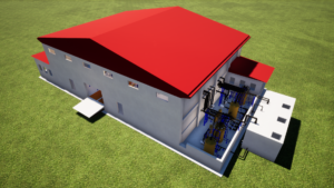
- Facility Construction
- Brownfield Construction
- Vessel Repair
- Equipment Installation
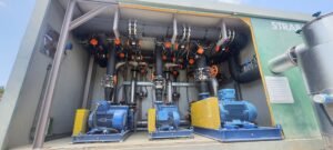
- Treating Systems
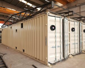
- Modular Skid Package
- Facility Maintenance
- Turnaround Planning
- Turnaround Execution
- Facility Modification
- Field Maintenance
- Plant Maintenance
- Project Management
Technology
- Aerial Mapping
- UAV Orthomosaic
- Robotic Total Stations
- LIDAR
- Digital Twin
- 5D BIM Simulation
- Robotic Manufacturing
- Augmented Reality (AR) Visualization